
By Mr. Alexandre Chimtengo, Planning Officer at Mechanelas District Administration Office, Niassa Province.
These stories are part of a new series, entitled: ‘Mapping Stories: Data, Population & Development Perspectives from the Field’.
My work changed in 2020, when according to the Government’s new 5-year plan, the planning and implementation of development activities would be decentralized to the local level. This meant that my team and I, as the local district administration, had to identify specific areas where, for example, health posts, schools and water points, needed to be constructed. In September 2019, the District Administrator requested that I provide a plan for the district and conduct an assessment of the needs. It was very difficult for me to identify the exact areas in need, as my district is very large (some 50,000 square kilometers) and most of the roads are very poor, making travel and access quite challenging.
While struggling with my planning, we received the detailed results of the 2017 Population and Housing Census, which provided me with the information I was after. Those results showed me the total population of the district and how they were distributed. It gave me a fair idea of where to start. In the past, this information was given for the whole district without specifying how the population was dispersed. Although the new information told me population distribution across the district, it did not provide details on available schools, health facilities and water points, for example. This was critical as it would tell me how far someone has to travel to access a facility or how many people are served by a particular water point. More information was required in order to increase and strategically determine where and which services to provide, in order to make them as accessible as possible to communities.
I led the planning team as we visited different areas and assessed peoples’ availability and access to social services. The team managed to reach only 5 locations along the main road between Mecanhelas and Cuamba. The rest of the areas (6) were not reachable because of poor road access. I informed the Administrator that the planning exercise would take longer than originally planned. While struggling with this issue, the National Institute of Statistics (INE) gave us maps of the district and its 11 localities. These maps were geo-referenced and INE’s Niassa Province delegation trained us on how to interpret and use the maps.
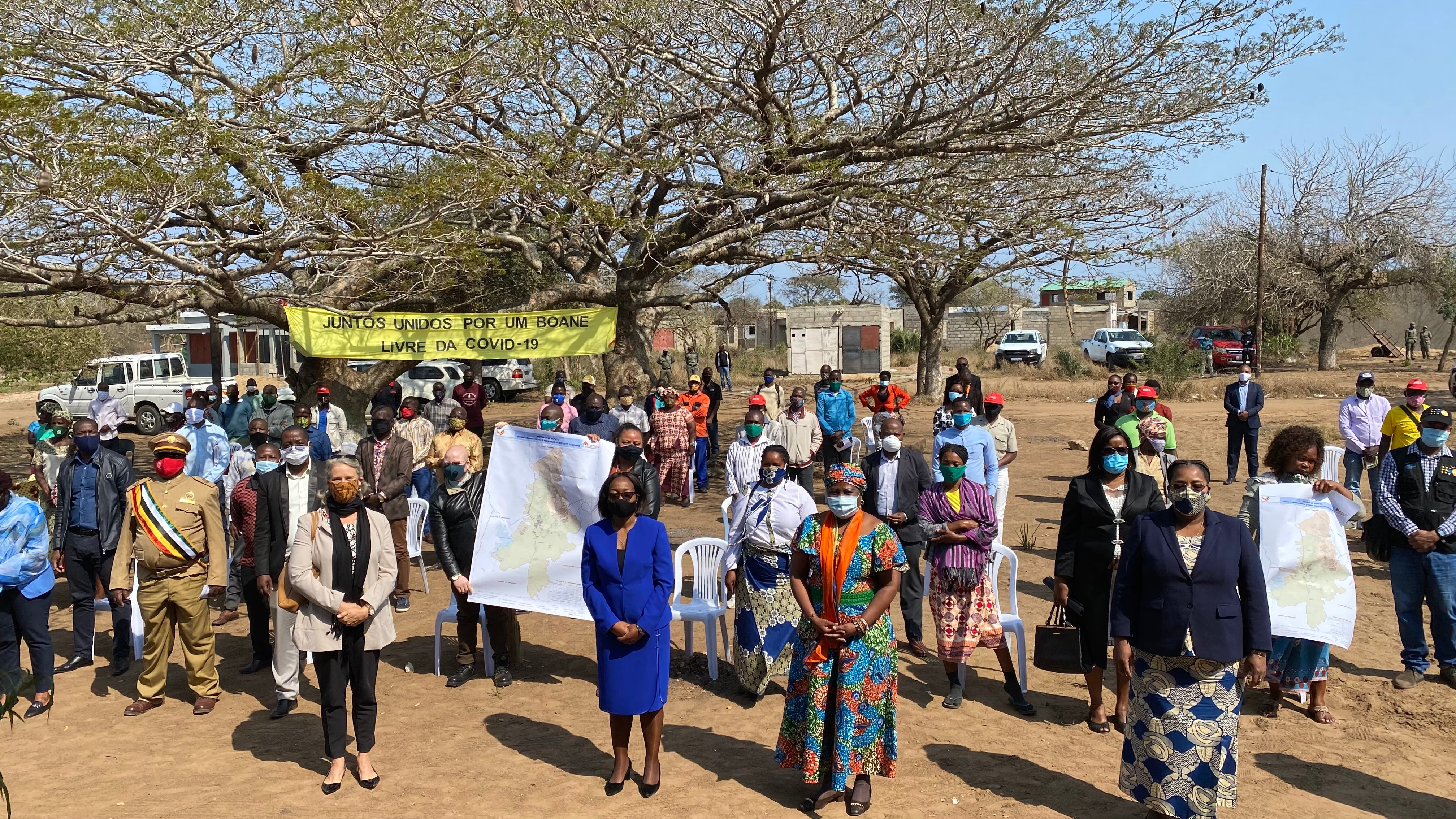
©UNFPA Mozambique/Epidauro Manjate
We learned that a geo-referenced map means that it shows the exact location of anything detailed on the map. These maps show the distribution of the population and the availability and exact location of schools, health posts and water points, for example. With this information, we were able to identify the areas most in need, and estimate the distance between communities and social services. The planning exercise is much easier and we can now address the identified needs. For example, while the district has about 20 health facilities, the maps show us that most of these health facilities are concentrated along the main road between Mecanhelas sede and Cuamba, only supporting a portion of the population. Most of the areas distant from the main road, where most people live, do not have health and education facilities, and the poor roads mean that many are unable to travel far to seek vital services.
We are now able to plan to provide services in these remote sites. Another interesting aspect of these maps is that they show the type of facility available. For example, for a health facility it shows whether the facility is a basic health post without maternity services or a health center with maternity facilities. From these maps the District Administrator now has a comprehensive idea of the available services in the district and the gaps. The same applies for schools. The map shows their location and access. Similarly, we determined that most schools concentrate along the main road, with most of the population living far not having adequate access to the school. In this capacity, you wonder how many children have been unable to get an education or how many girls and women have been unable to get adequate health support. I am a better planner now because I have a powerful tool in hand for planning.
------
*About the Census Project:
Mozambique’s 2017 population and housing census was successfully enumerated in August 2017 with technical and financial assistance from a multi-donor trust fund (encompassing DFID, Norway, Sweden, Canada, and Italy), and technical support from UNFPA in coordination with the World Bank. Following enumeration, the same Trust Fund is currently financing 100% of the production of the geo-referenced maps and other census dissemination activities.


